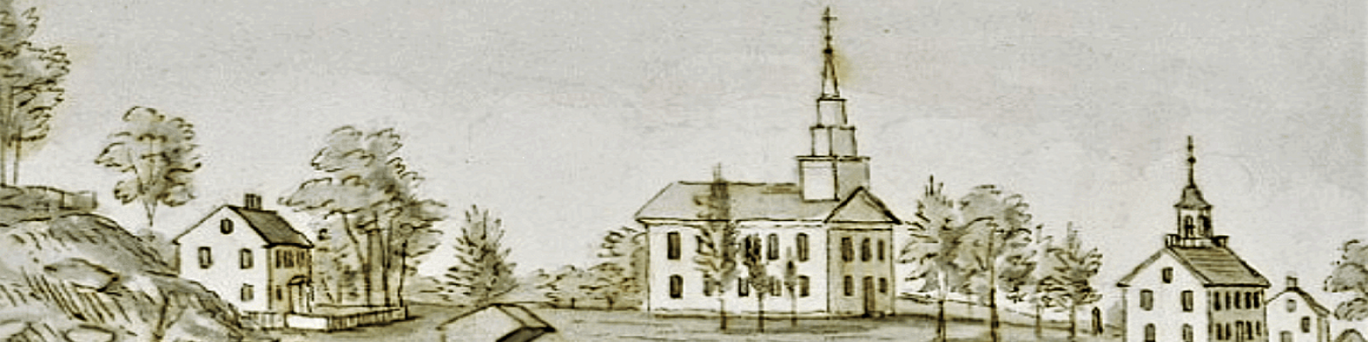

In 1867, the date of this map, Easton had considerably more commerce than it does today. The inset at the top left of the map shows in detail, the intersection of what is now Center Street and CT 136 aka Westport Road. At that intersection the map identifies the post office, still there today, a store, two shoe shops, a tailor shop, The Congregational Church, a school, and The Staples Academy, now a part of the Congregational Church. Other businesses visible on the map include a number of mills, black smith shops, and other stores.